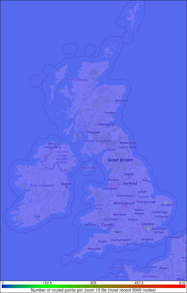
Route Points Map
This image shows where the most recent 5000 routes have been made from and to (and all intermediate points). The locations are mapped into a zoom level 13 map tile (2.0x2.0 pixels on this scale) and the colour indicates the number of times that the tile has been used as a start, middle or end point.
